The right approach to sailing even without electronics
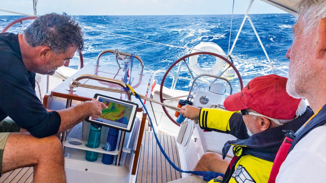
Sailing without electronics: How do you navigate if your chartplotter screen suddenly goes black? What happens if a lightning strike hits the boat and causes a power outage? What do you do if you can’t recharge your GPS batteries? Even in today’s technological age, where sailors are constantly connected and surrounded by electronic gadgets, it can happen that onboard systems fail—essentially leaving you in “dark mode” for a period of time.
Such an event may be rare, but it is not improbable. You might need to sail without electronics for a while while rebooting or rewiring your navigation suite. Or, in the event of an emergency or mechanical failure, you may decide that other repairs take priority and that it’s better to fix the electronics onshore.
Older generations of sailors can still navigate quite well without electronics, even today. Back then, there were no computers, electronic gadgets, or interconnected instruments. For them, it’s just a step back to what they were already used to doing. Younger sailors, however, are accustomed to electronic assistance, and suddenly being without it can be a challenge—often more mental than practical. Here are some tips and suggestions for handling such a situation during a sailing trip.
Keep a written logbook as a backup
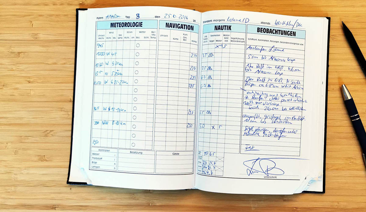
Maintaining a detailed, clear, and precise logbook is one of the key elements of any backup plan in case of a total loss of navigation data and systems. In the age of chartplotters, it’s easy to lose the habit, but it remains a fundamental seamanship practice. The recommendation is to update the logbook at least every three hours during offshore navigation, and at least every hour when sailing along unfamiliar coastal waters. This should include plotting your GPS position on a nautical chart or, at the very least, recording the waypoint in the log.
The logbook can be as detailed as you like, but it should always include some basic information: GPS coordinates (latitude and longitude), course steered, average speed, and distance traveled. Notes on barometric pressure, sea conditions, cloud cover, and water temperature are also useful to help create a clear picture of your surroundings.
This way, if the lights go out or the electrical system fails, the last recorded position is no older than three hours. For example, if you’re sailing at six knots, you will be within just 18 nautical miles of that recorded position. If the logbook includes course and speed over the previous three hours, a quick calculation on paper will likely give you a fairly accurate starting position, within a few miles.
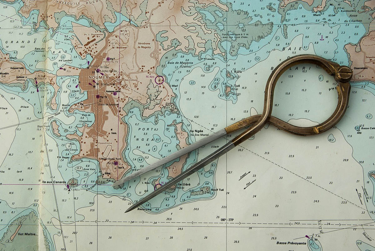
Paper nautical charts: an invaluable aid
Another essential element for safely sailing without electronic instruments are paper nautical charts. Not all charter boats carry them today, but they remain a crucial part of any “Plan B,” whether navigating coastal waters or crossing offshore. At a minimum, you should have planning charts for the area you will sail in, plus larger-scale charts for all the coasts where you plan to land. Ideally, you should also have charts for all the areas you will traverse that might serve as emergency ports of refuge.

Pilot charts for safer navigation
Another invaluable resource on board a cruising sailboat is a pilot book, or what the British call a “pilot chart.” These volumes are not only packed with useful information about your destination, but if your digital charts are unavailable for any reason, they provide diagrams of harbors, tidal information, and small maps that may be enough to guide you safely into a port or anchorage.
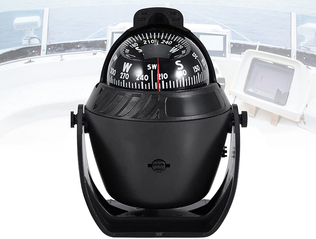
A reliable portable compass
A portable compass is an item that every boat probably keeps tucked away in a locker. It is essential for coastal navigation and serves as a backup to the boat’s main compass. Use it to avoid collisions if your AIS system is down, and when practicing celestial navigation, it will help you identify the correct navigation star in the sky.
The skill of estimating your position at sea using a compass, based on your course and speed or distance traveled, is key to fixing your position and eventually sailing safely to a refuge port. This is also the first step in celestial navigation.
Communications: the importance of the radio
If you are lucky enough to still have a functioning VHF, communicate with any vessel you spot or hear. If you can get another crew to respond, they will gladly provide your GPS position, some information about upcoming weather conditions, and may be willing to relay your position and status to a shore station.
An HF radio is another excellent tool to keep on board as part of your backup plan. What many consider a “vintage” instrument can, with a little preparation before departure, provide a vital communication link when other systems fail.
Remember: you are your own backup
Even though the idea of losing your GPS, chartplotter, and satellite communications system during a sailing cruise can be anxiety-inducing, with some confidence in the skills you already have—and a few that can be quickly learned—you can relax knowing you are your own backup. Successfully reaching a harbor using traditional navigation may turn out to be one of the most rewarding achievements of your life.


You May Also Like

Caribbean: Grenada, the spice island that charms sailors

Sailing amidst the Canary Islands: exploring mythical havens where life flows blissfully