
Katabatic winds: Understanding the risks for sailors on a cruising yacht
Katabatic winds are a meteorological phenomenon that is often little known, yet can pose a danger to sailors on a cruise. These descending winds generally form when a mass of air cools, becomes denser than the surrounding air, and accelerates downward at high speed.
Although this phenomenon occurs more frequently in mountainous or polar regions, it can actually happen over any terrain given the right conditions. Katabatic winds generating powerful gusts descending from mountains deserve attention to better anticipate them at sea. Here are some explanations to help understand this phenomenon and anticipate it during sailing.
The “mechanism” of katabatic winds
Katabatic winds occur when an air mass, cooled by radiation or contact with a cold surface—such as a glacier or mountain—becomes denser than the surrounding air. This cooling creates a thermal imbalance known as a “downdraft.” The phenomenon is often associated with a temperature inversion, where colder air remains trapped near the ground while warmer air sits above. The katabatic wind then descends along the slope under the effect of gravity, and wind speeds can reach 50 km/h (about 30 mph).
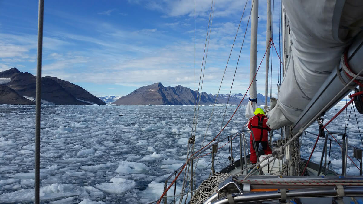
Katabatic winds occur most frequently in polar regions. The so-called “polynyas”—ice-free zones in the Arctic and Antarctic—form mainly due to katabatic winds blowing from the continent toward the sea, clearing the ice from the coast. These open areas in the pack ice not only provide a vital habitat for marine life but have also attracted explorers since the 19th century, who used them as access routes for polar expeditions. Explorers such as the Norwegian Fridtjof Nansen, who undertook the first Arctic drift aboard the Fram in 1893, used the polynyas to avoid thick ice and continue their missions. The phenomenon thus presents a unique opportunity for navigation in these remote regions.
Conditions favorable to the formation of katabatic winds
There are two types of cooling that can generate a katabatic wind:
Radiative cooling: occurs at night, when the surface of the land or mountains loses heat through radiation, cooling the air just above it.
Contact cooling: occurs when air passes over an ice-covered or very cold surface and takes on its temperature.
For a katabatic wind to develop, several conditions must be present: a thermal inversion, low atmospheric pressure downstream, and a sufficient gradient to allow the air to descend rapidly.
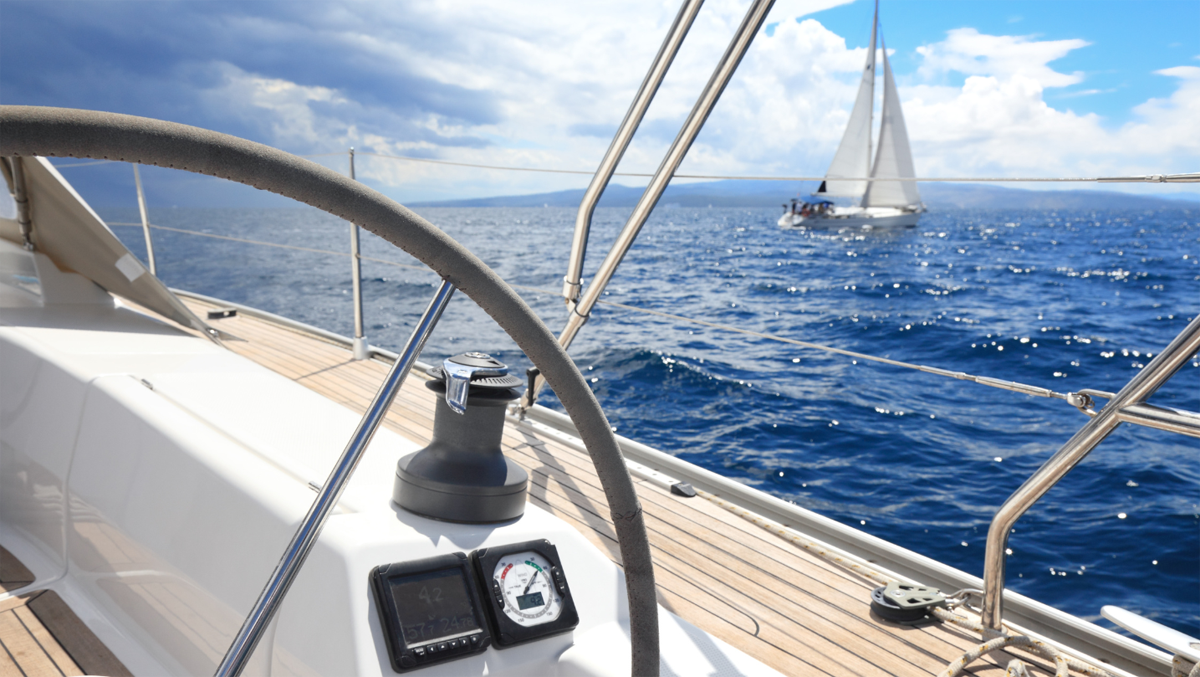
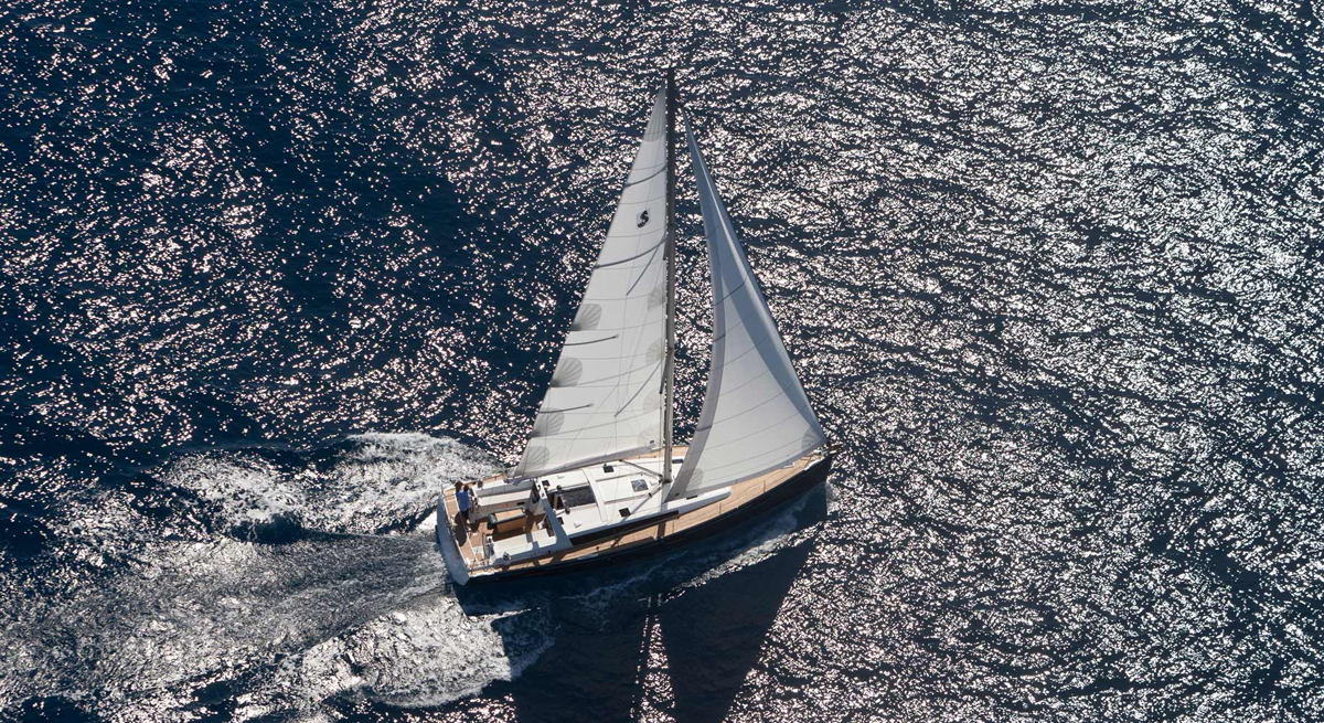
The effects of katabatic winds on sailing
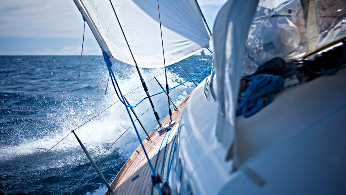
The consequences of a katabatic wind for sailors on a cruise can be dramatic. When a katabatic wind blows over a body of water, it can make navigation extremely difficult and dangerous.
Here are some of the main effects of katabatic winds:
Sudden wind acceleration: a katabatic wind can go from calm to violent gusts in a matter of moments.
Unpredictable waves: the wind gusts can generate very irregular waves, disturbing the heel and stability of yachts.
Fog and reduced visibility: as the air cools, condensation can form dense fog, limiting visibility and making navigation even more hazardous.
Sailors must therefore be particularly vigilant, especially when sailing near coastal areas with nearby mountains.
The most famous katabatic winds
The Piteraq
One of the best-known katabatic winds is the Piteraq, which regularly blows off the eastern coast of Greenland. This extremely violent wind generally reaches speeds between 50 and 80 m/s (about 180–288 km/h). The Piteraq occurs mainly in autumn and winter, when the Greenland ice sheet cools the air above it, creating a powerful descending wind.
This phenomenon is particularly feared by the inhabitants of Tasiilaq, a town located in a narrow valley. The Piteraq can cause significant material damage and disrupt the surrounding countryside. In February 1970, an exceptionally strong Piteraq struck Tasiilaq with estimated gusts of 325 km/h, far exceeding the strength of a Category 5 hurricane. Since then, Danish authorities have issued special weather warnings to alert the population to this dangerous phenomenon.
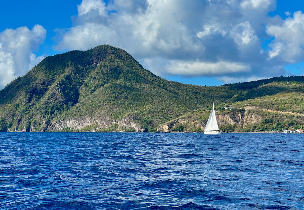
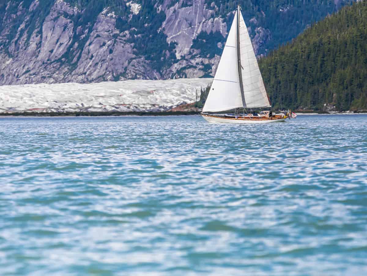
The Williwaw
The “Williwaw” is another particularly violent katabatic wind that blows in some coastal regions of the world, particularly in Patagonia. The term “williwaw” originates from Amerindian languages and was first used to describe the violent gusts in the Strait of Magellan, especially feared during winter. Its reputation has spread to other regions where similar winds occur, such as the fjords of Alaska and the mountains along Prince William Sound.
Like Greenland’s Piteraq, Williwaws appear suddenly and are difficult to predict, even for experienced meteorologists. This unpredictability makes them particularly feared by sailors navigating these regions. Curiously, in 1960, the name “Williwaw” was given to an innovative 9-meter trimaran designed by David Keiper, capable of speeds over 20 knots.
The Mistral
Although less extreme than the Piteraq or Williwaw, the Mistral is a well-known katabatic wind. This cold, dry wind forms when air from northern Italy and the Alps cools and descends rapidly into the Rhône Valley in France. The Mistral is characterized by strong intensity, often reaching speeds of 40–60 km/h and blowing for several days. It is well known and respected by Mediterranean cruising sailors, as it can generate very rough sea conditions.
The Bora
The Bora is another example of a katabatic wind, blowing along the Adriatic coast. This wind becomes particularly strong when descending from the mountains of the Kvarner Gulf and striking the Croatian coast. The Bora can reach speeds of 100 km/h, and in some cases even 150 km/h, producing large waves at sea and causing damage along coastal areas. The cities most affected by this wind are Rijeka and Split, where the Bora can appear suddenly and disrupt both nautical and land activities.
On December 9, 2024, an impressive image captured by the Copernicus Sentinel 2 satellite revealed a spectacular phenomenon over the Adriatic Sea, between the Dalmatian coast of Croatia and the island of Pag. On that day, the Bora exceeded speeds of 100 km/h, intensifying as it descended from the mountains along the Croatian coast. In this area, the shallow waters of the Adriatic amplify these effects and contribute to foam formation.
Tips for minimizing the risks of katabatic winds
Before heading out to sea, it is essential for sailors to check local weather forecasts and pay particular attention to warnings about thermal conditions and the risk of strong winds. It is also wise to avoid sensitive areas during high-risk periods—especially at night or early in the morning, when conditions are favorable for the formation of katabatic winds.
Equally important is preparing the boat for challenging conditions and ensuring the yacht is properly equipped to handle sudden gusts. This includes checking the shrouds and rigging, as well as reefing lines if necessary. Sailing in a group and maintaining constant communication is also advisable. In the event of unexpected katabatic winds, it is preferable to have companions and a reliable communication system to alert other sailors or request assistance if problems arise.

How to handle lines safely on a boat

You May Also Like
Sailing between the islands of central Croatia – a cruise of both: relaxation and adventure
Sailing in Croatia: the wonders of Dubrovnik